
Build Smarter.
Grade Faster.
Build on Precision.
Professional Machine Control Modeling, Earthwork Takeoffs, Volumetric Analysis, and Trade Coordination Drawings—Engineered for Precision in the Field.
More Than DataBetter Decisions.
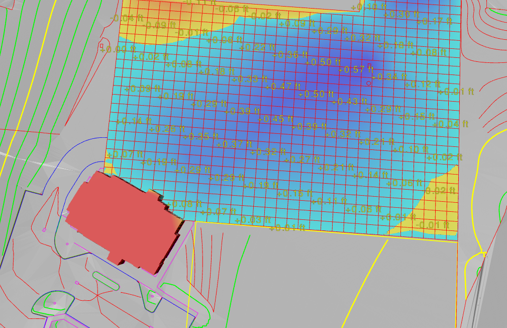
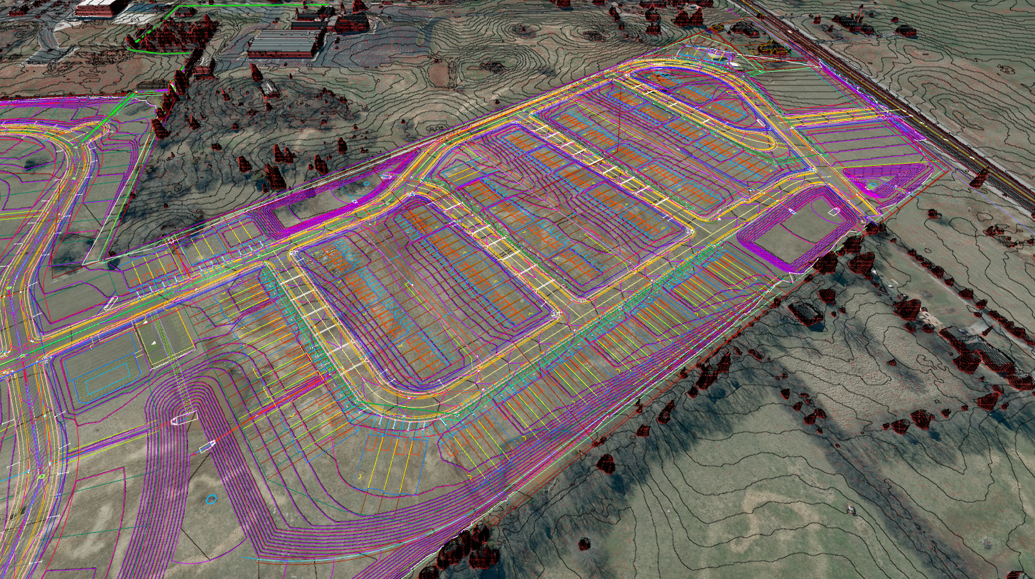
Delta Terrain Solutions transforms complex construction plans into accurate, field-ready data that estimators, project managers, and equipment operators can rely on. From machine control models and earthwork takeoffs to trade coordination drawings that identify and resolve conflicts before construction begins, we help projects stay efficient, accurate, on schedule and surprises to a minimum.
Accuracy Comes First
Every model is carefully reviewed for elevations, grading transitions, drainage concerns, and potential conflicts before delivery.
Built for the Field
Deliverables are organized around the real needs of contractors, equipment operators, estimators, and project managers.
Dependable Communication
Clear updates, responsive service, and practical support help keep your project moving without unnecessary delays.
Precision You CanSee in Every Detail.
Explore examples of CAD drawings, terrain models, utility layouts, takeoffs, and machine-control files prepared for real-world field use.
Terrain Data Built forReal-World Results.
From digital terrain models to quantity takeoffs, every deliverable is prepared with accuracy, usability, and jobsite performance in mind.
Machine Control Models
Accurate 3D surfaces prepared for Trimble, Topcon, Leica, and other machine-control systems.
- Grading surfaces
- Roadway modeling
- Linework Files
Trade Coordination
Identify conflicts between utilities, structures, and other construction elements before they become costly field issues
- Utility & Structure Coordination
- Field Condition Coordination
- MEP & Trade Coordination
Earthwork Takeoffs
Reliable excavation, fill, material, and quantity calculations that help contractors bid confidently.
- Cut-and-fill volumes
- Material quantities
- Detailed Map
From Plans toField-Ready Data.
A simple, dependable process designed to keep your project moving from the first file upload to final delivery.
Send Your Plans
Upload your drawings, specifications, and project files so we can review the scope.
We Build the Model
Your files are converted into accurate, organized data prepared around field requirements.
Review & Quality Check
Every deliverable is reviewed for accuracy, usability, elevations, transitions, and conflicts.
Ready for the Field
Receive dependable files that estimators, operators, and project teams can use confidently.